
MORE SLOPES FOR FLYING RADIO CONTROL GLIDERS
The Google map associated with this website contains many more slopes across England and Wales - around 240 in all. Access the map from the Home page or click here:
On the map the blue pins mark the slopes. Double click on a pin to see details about that slope. Zoom in using the slider control on the left of the map. Click 'Satellite' to see an aerial photographic view of the area. If you have Google Earth installed, you can click on 'View in Google Earth' to see tiltable 3D views of the slopes.
There are four flavours of flying sites on the map:
(1) All the sites detailed on this website (mainly sites in the southeast)
(2) Sites that haven't yet had full reports written (including lots of great west country sites)
(3) Smaller slopes that don't quite merit full reports (for example Crown Hill)
(4) Sites suggested by readers (for example Naze Cliffs)
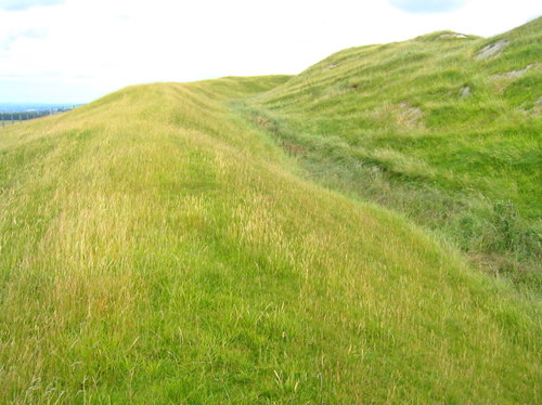
Here are just a few of the sites shown on the map:
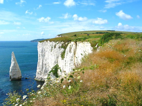
Ballard Cliffs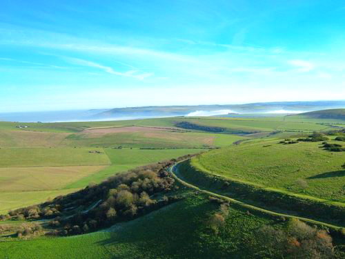
Cissbury Ring
Kimmeridge Down
Liddington Castle
Naze Cliffs
Selsley Hill
Trundle Hill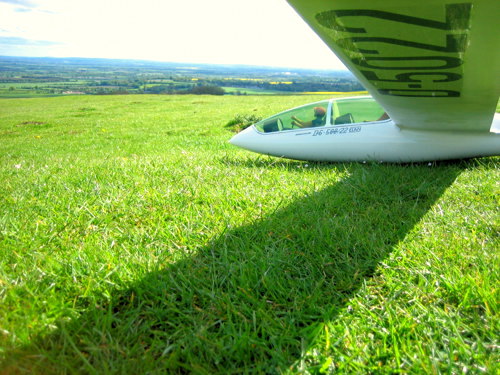
Uffington White Horse Hill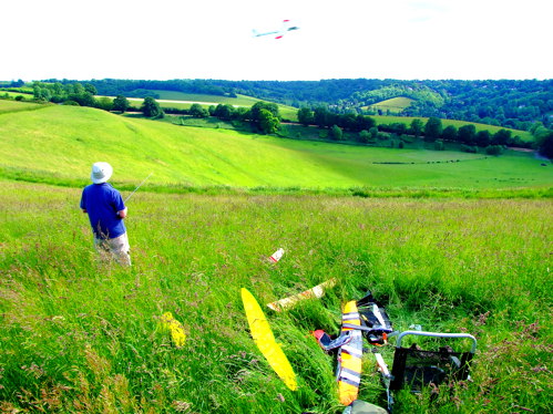
Warlingham Bowl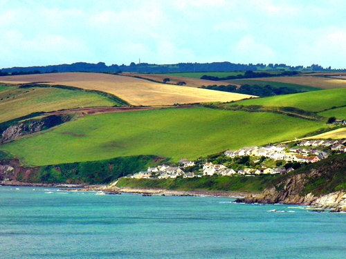
Whitsand Bay